Helping you find native plants that thrive in your landscape
What is a native plant?
Native plant means plants that were growing naturally here before European colonization. This is the tacit definition many botanists and native-plant enthusiasts seem to use.
According to the USDA, “Ecoregions are areas where ecosystems (and the type, quality, and quantity of environmental resources) are generally similar.”
Ecoregions are identified by analyzing the patterns and composition of biotic and abiotic phenomena that affect or reflect differences in ecosystem quality and integrity (Omernik 1987, 1995). These phenomena include the following:
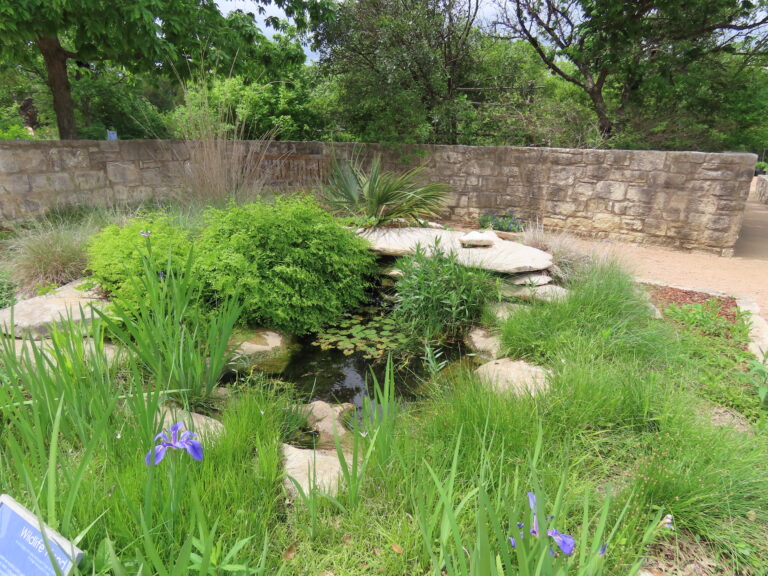
Wildscaping is a way of designing your home’s landscape to attract and benefit wildlife, especially birds and butterflies, by providing the required food, water, and shelter.
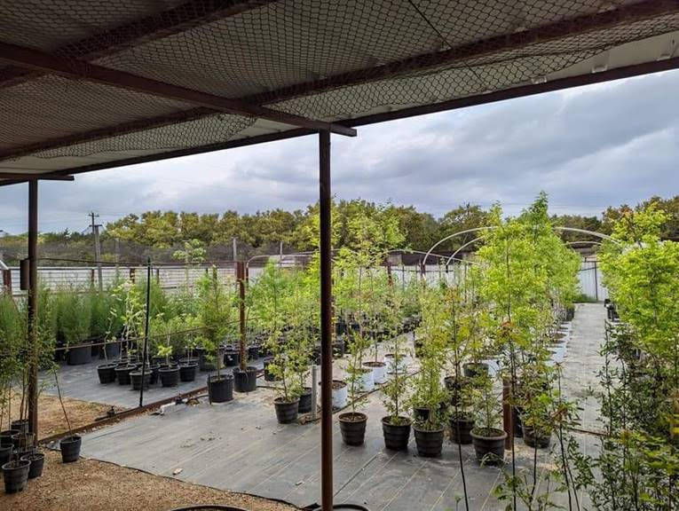
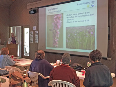
Native Landscape Certification Program (NLCP) is a series of day-long classes that teach best practices for native plant landscaping – including wildlife habitat gardening. Each class consists of an indoor training session and an outdoor plant identification section. We show you plants native to the local ecoregion, illustrating their use in the landscape.
This low-elevations region of Texas extends inland from the barrier islands, about 60 or so miles, and stretches from Brownsville to Louisiana. In total, it covers about 9.5 million acres, with a high point of 150 feet in elevation. More than 1000 species of plants can be found in this region. On the southern end, species more common in Mexico (such as Sabal mexicana) and Central America occur.
The barrier islands provide us with dune systems, and clay flats to the inland side, which have species found in these areas alone. Many plants here, such as Ipomoea pes-caprae (beach morning glory), can be found throughout tropical regions of the globe. I’ve encountered the same species on the beaches of Guam.
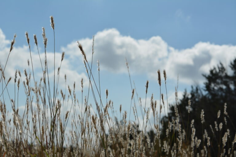
Once inland, vast marshes and wet prairies occur. Occasionally, oak (Quercus fusiformis) groves can be found. Common grasses include species of Bothriochloa, Paspalum, and Sporobolus; eastern gamagrass (Tripsacum dactyloides); and switchgrass (Panicum species). Many rivers and creeks cut through the Gulf Prairies, and along these riparian areas various species of trees, Sabal minor, and other plants adapted to clay soils can be found. Due to overgrazing, farming, and fire suppression, woody species such as mesquite (Prosopis glandulosa) and huisache (Acacia farnesiana), and invasive species such as chinaberry (Melia azedarach), Brazilian pepper (Schinus terebinthifolius), and Chinese tallow (Sapium sebiferum) have increased and displaced our native flora.