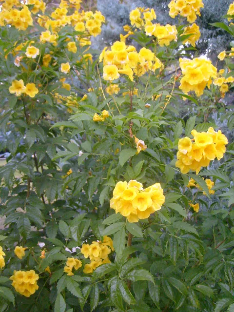
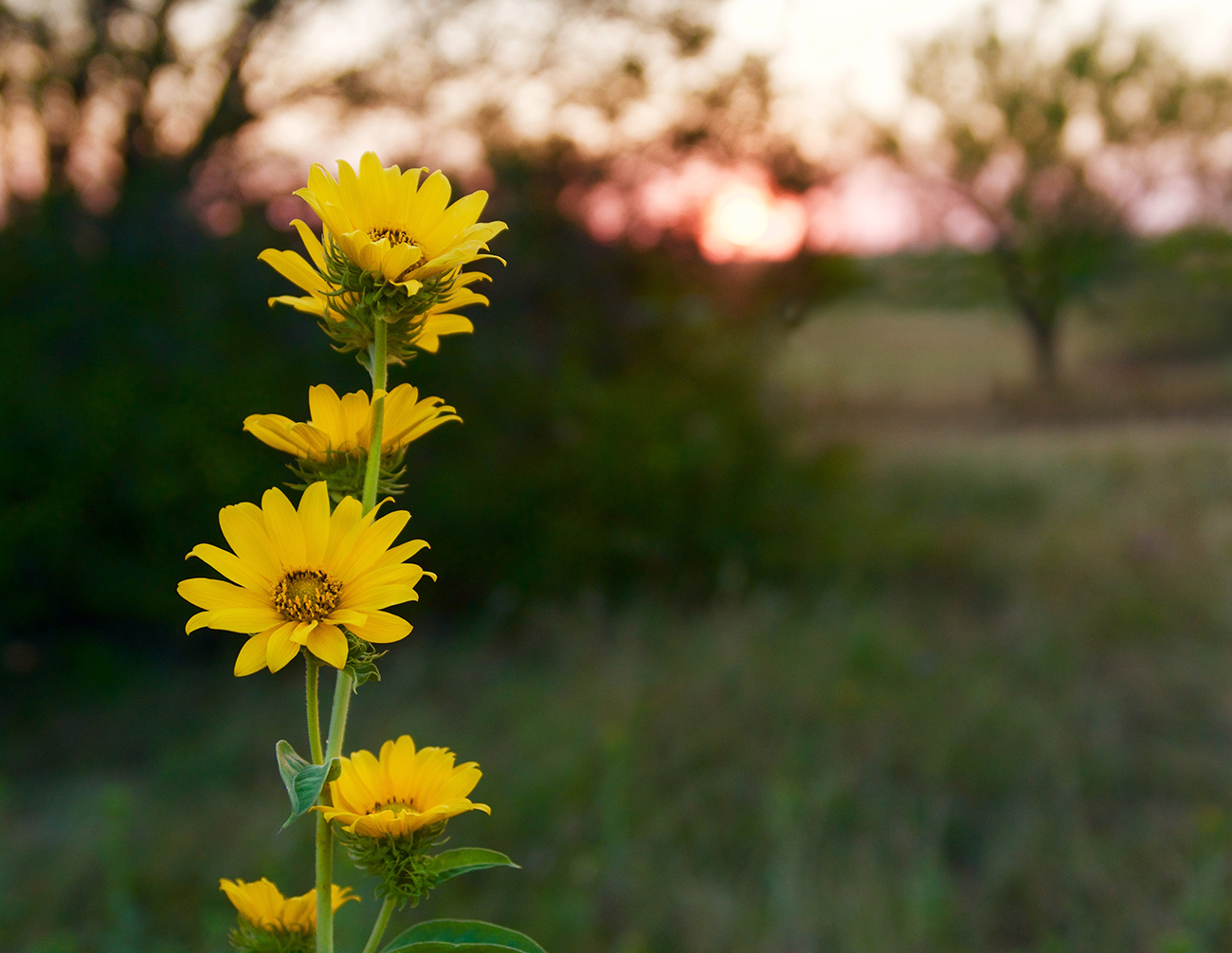
Esperanza – a N.I.C.E. spring plant and Texas SuperStar
Esperanza, also known as “yellow bells” and “yellow trumpet,” is a native shrub with a tropical feel. Call it eye candy for your summer landscape – if you get it planted during the spring! Planted in the spring, they will have months of our warm weather for root growth before the first hard freeze.
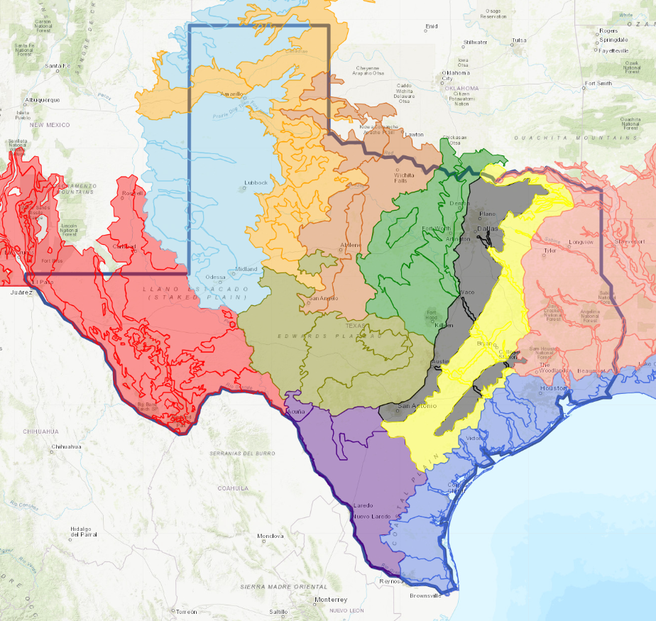
Ecoregion Map
Texas Ecoregion Map Due to its size and geographic location, Texas is unique among states. Covering 266,807 sq. miles, it is second only to Alaska in land area. A large
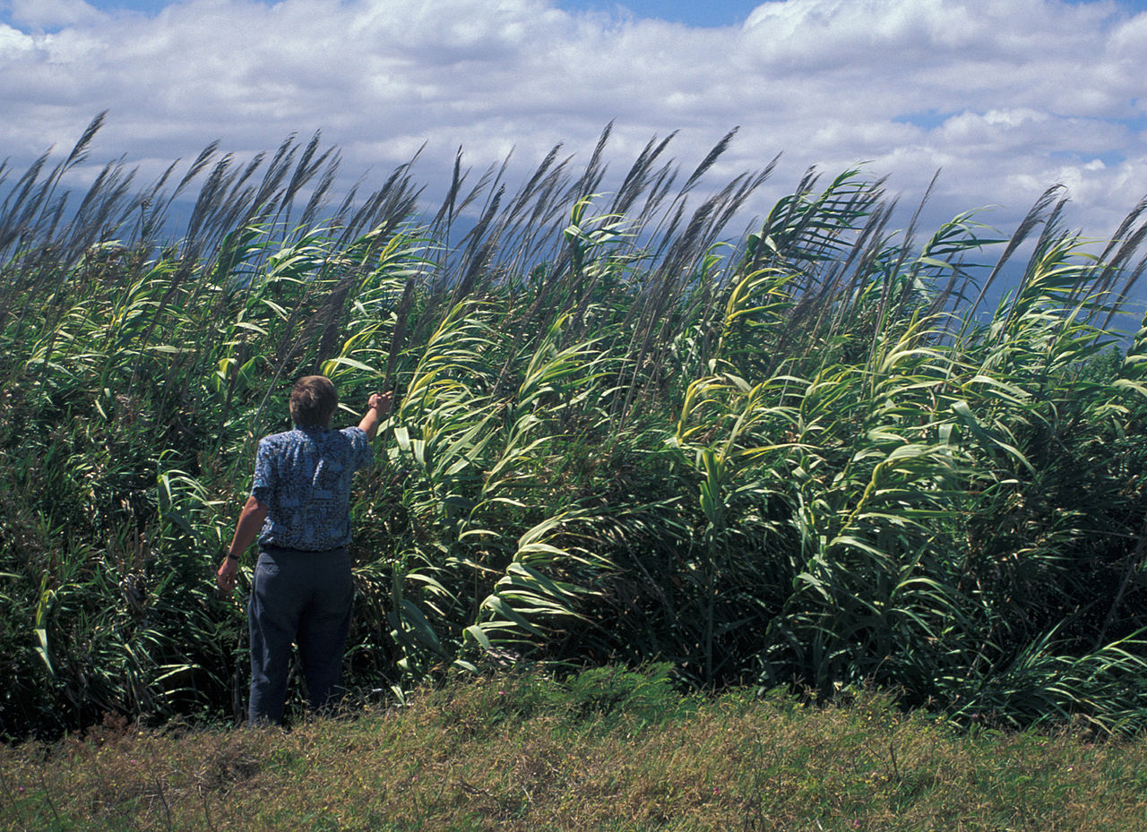
Invasive Plants
Arundo donax; Photo credit: Deedy Wright On a global basis … the two great destroyers of biodiversity are, first, habitat destruction and second, invasion by exotic species. E. O. Wilson,
Native Gardens, Parks, and Trails
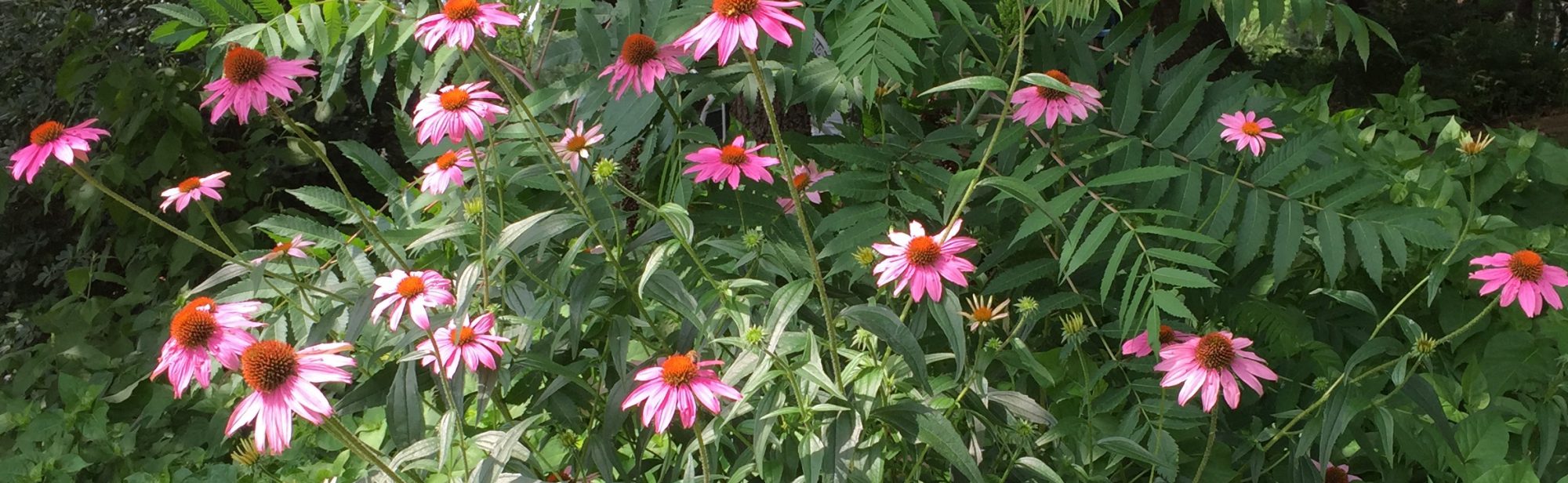
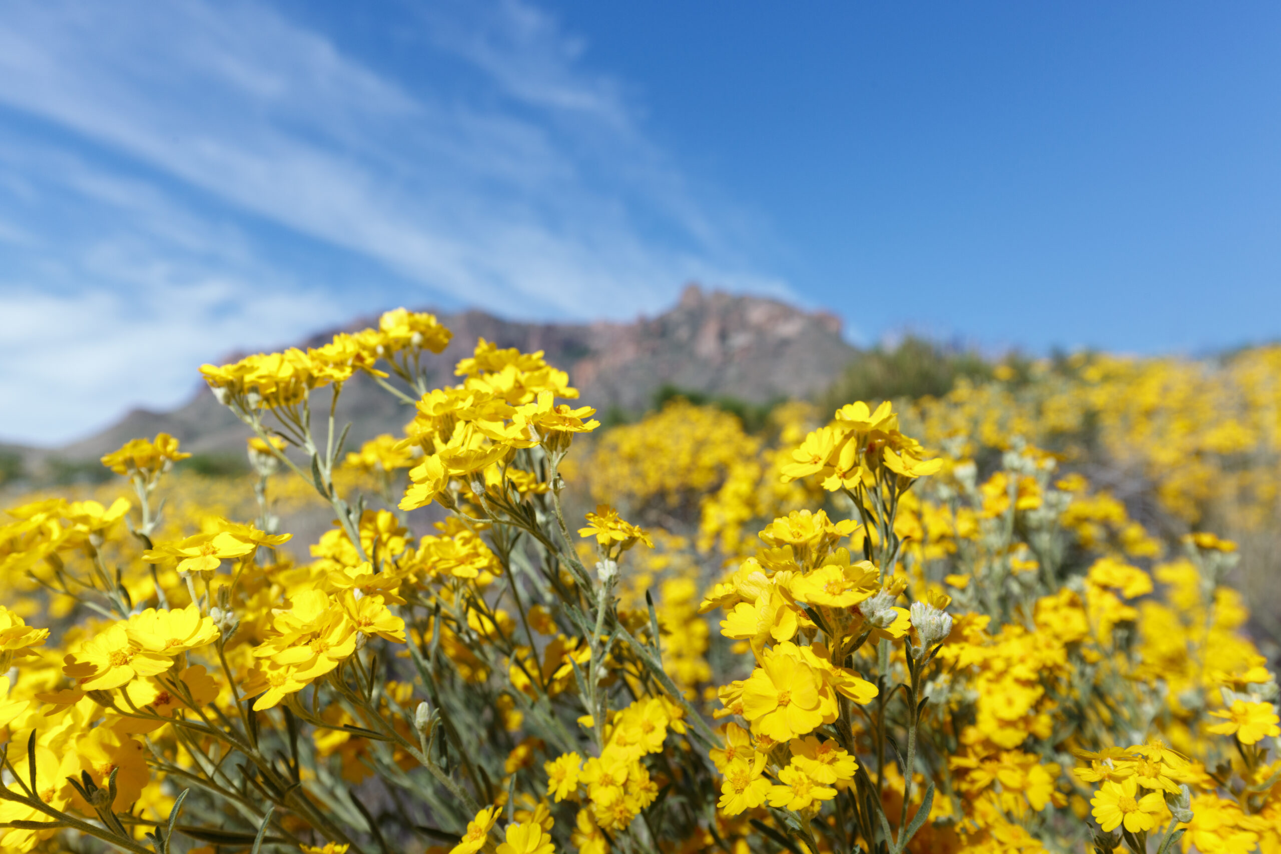
Where to See Native Plants These native places are great for seeing what plants have either been planted in attractive combinations / landscaping or how native plants community associations occur by Mother
Native Plant Database
Native Plant Database Find the Perfect Texas Native Plant for Your Landscape Native plants are important for the health of local ecosystems. Plus, they create a sense of beauty in
Pollinator Landscaping
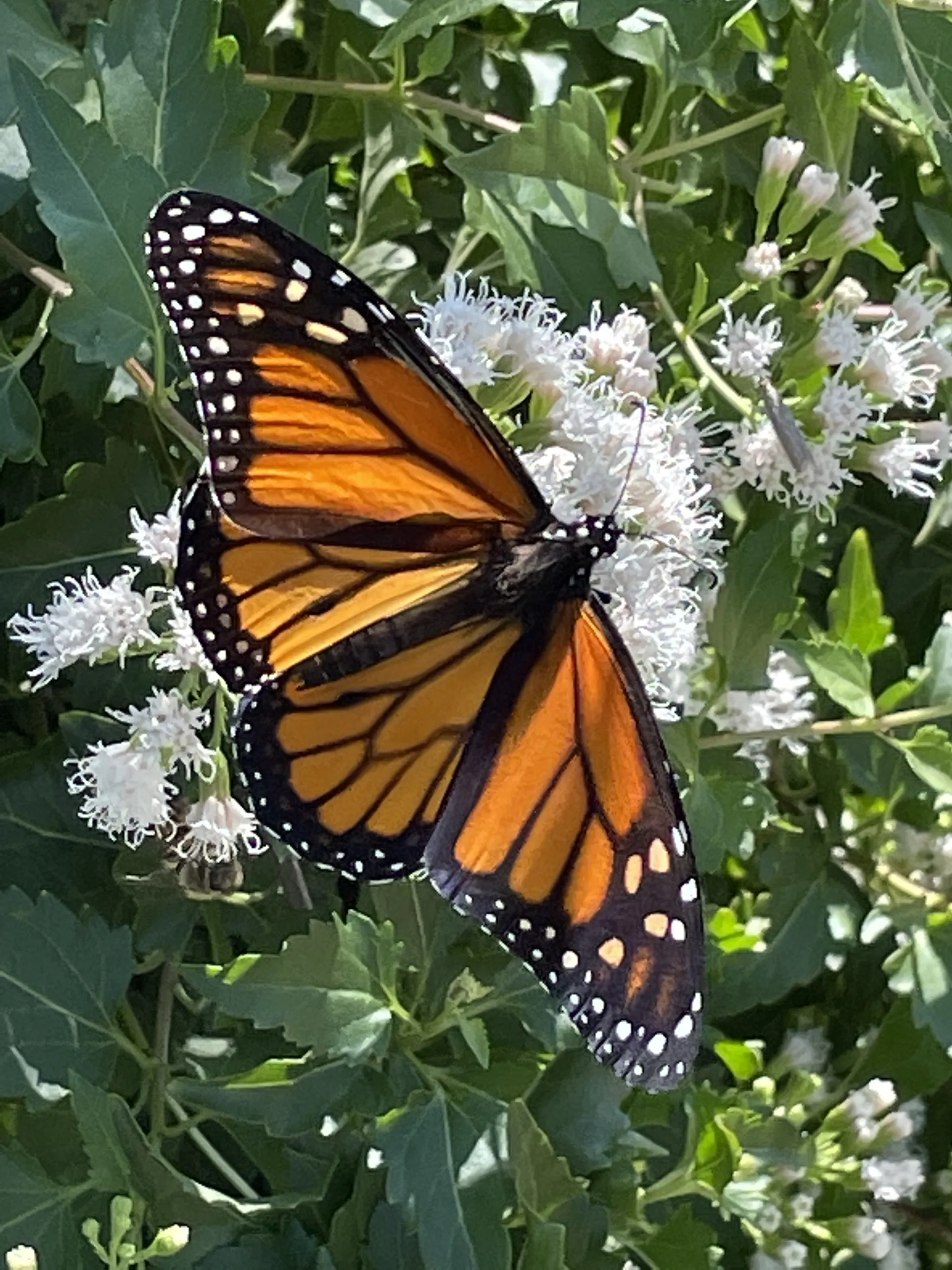
Member Recommended Resources Many of our members are drawn to native plants because of the butterflies they attract. Below is a list of miscellaneous Monarch and milkweed resources as well
Wildscape Landscaping
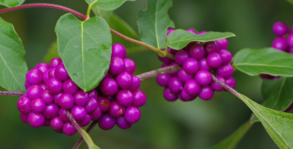
Wildscaping is a way of designing your home’s landscape to attract and benefit wildlife, especially birds and butterflies, by providing the required food, water, and shelter. The ‘food’ component can
Working with your HOA
Traditionally, HOAs prefer the manicured green turf grass and appointed evergreen ornamentals. Changing the perspective of what constitutes an ideal landscape can have its challenges.
Esperanza – a N.I.C.E. spring plant and Texas SuperStar
Esperanza, also known as “yellow bells” and “yellow trumpet,” is a native shrub with a tropical feel. Call it eye candy for your summer landscape – if you get it planted during the spring! Planted in the spring, they will have months of our warm weather for root growth before the first hard freeze.

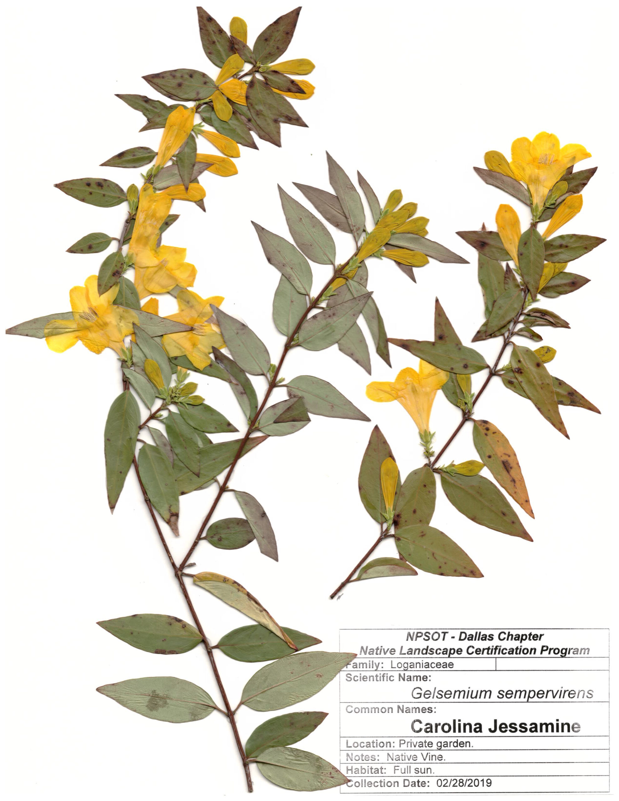
Marie-Theres Herz Herbarium Sheets
These photos are part of the Marie-Theres Herz Herbarium sheets, donated to the Native Plant Society of Texas. They were all collected and photographed by Marie-Theres Herz from the Dallas

Miscellaneous Resources
Miscellaneous resources for all things native plant gardening. Many of these documents are provided by members who have spent years developing presentations, articles, guides, course materials and more!
Plant Policies and Position Statements
Plant Collection Policy The Native Plant Society of Texas, in keeping with its basic purpose of education, conservation, and preservation of the native plants of Texas, has created this policy

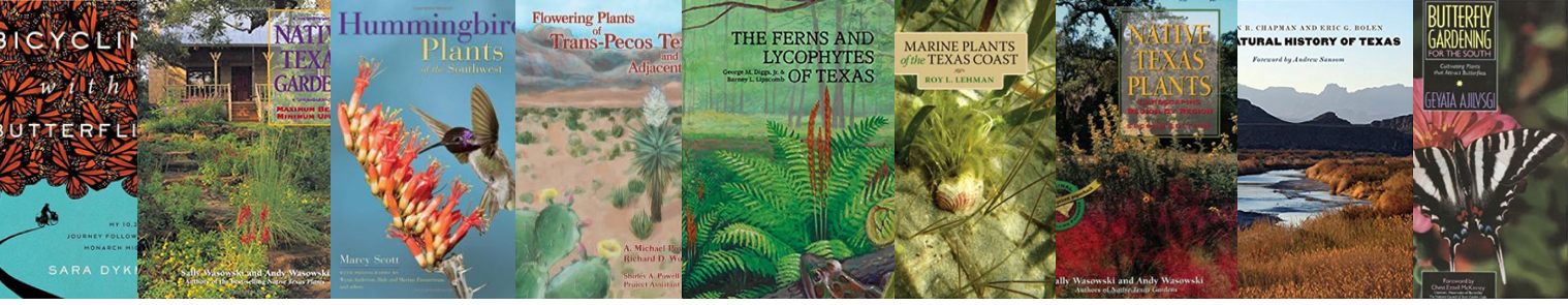
Recommended Reading
Over the decades, members have suggested books to one another. The list below includes publications that cover a variety of topics that our members find interesting and useful. However, the
Esperanza – a N.I.C.E. spring plant and Texas SuperStar
Esperanza, also known as “yellow bells” and “yellow trumpet,” is a native shrub with a tropical feel. Call it eye candy for your summer landscape – if you get it planted during the spring! Planted in the spring, they will have months of our warm weather for root growth before the first hard freeze.

Annual Symposia
Since its inception the Society has held an annual gathering or members’ meeting. In 1991 the Native Plant Society of Texas initiated an educational project designed to explore the ecology

Speakers Bureau
Thank you for your interest in finding someone who “speaks” native plants and other related topics. You’ve come to the right place! This page was developed to help you find
Texas Native Plants Magazine
Latest Issues Distribution Members Libraries & Educational Institutions Chapter Newsletters Texas Native Plants is published quarterly and the digital version is distributed free to all Society members in current standing.