

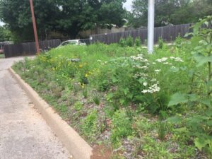
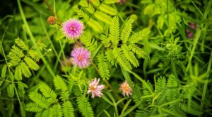
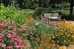
Butterfly Garden at Knapp Heritage Park
Leads: Josephine Keeney & Jane Oosterhuis Workdays: Monthly Knapp Heritage Park was dedicated in 2004 and managed by the Arlington Historical Society. Geraldine Mills is the Director of this park

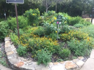
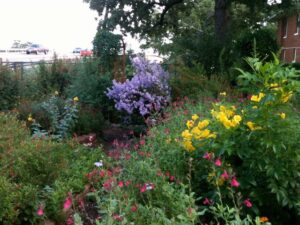
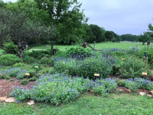
Container Pollinator Garden at UUMC
A Demonstration of Texas Native Plants in Containers SUPPORT POLLINATORS – EVEN WITHOUT A YARD! WHY NATIVE PLANTS IN CONTAINERS? This garden showcases how you can support pollinators — like
Fort Worth Zoo Pollinator Garden
Lead: Stesha Pasachnik Workdays: 2nd and 4th Fridays of the month from 9:30 am to 11:00 am unless otherwise noted The Fort Worth Zoo Pollinator Grow Zone located at 1989
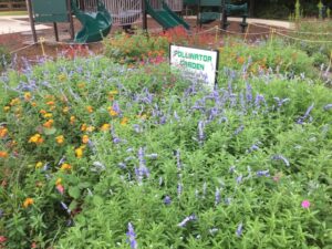
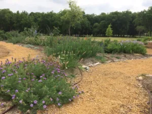
Native Gardens at Southwest Regional Library
Leads: Theresa Kay Thomas and Greg Hubbard Workdays: Second and Fourth Thursday of each month The Southwest Regional / Hulen Library Demo garden is located on the southwest corner of
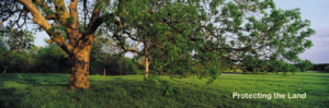
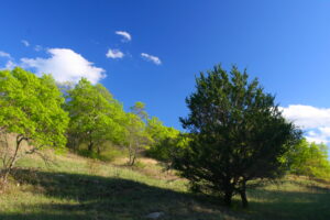
O.S. Gray Natural Area
Lead: Josephine Keeney Workdays: Second Saturday of each month This Pollinator Garden was started from scratch in 2010 under the Leadership of Kevin Donovan and the sponsorship of the Arlington
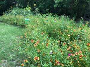
Pollinator Garden at Randol Mill Park
Lead: Josephine Keeney Workdays: Fourth Monday of each month The garden was started November 2020 with a great from the Audubon Society and plants were donated by volunteers. Bluebird nest
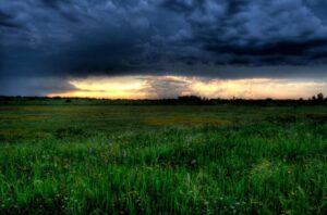
Pollinator Garden at River Legacy Park
Lead: Josephine Keeney Workdays: Third Monday of each month The Pollinator gardens had been in disrepair for the lack of volunteers. In 2019, The River Legacy Sience Center ask a
Randol Mill Park Pond Triangle Garden
Garden Lead: Carol Marcottee This lovely Native Plant Garden is locate at 1901 W. Randol Mill Rd., Arlington, TX 76012. Workdays are the 4th Thursday – email list will keep
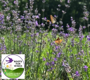
Roots for Wings Demo Garden
Lewisville Animal Shelter Roots for Wings Demo Garden The City of Lewisville is excited to launch Roots for Wings, a pilot program certifying residential pollinator and native habitat gardens. This
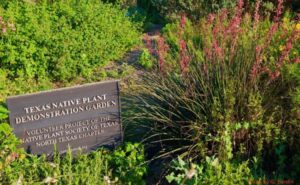
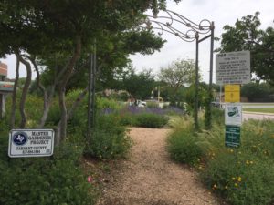
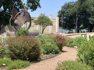
Southwest Sub-Courthouse Demo Garden
Workdays: to be scheduled The Tarrant County Southwest Sub-Courthouse Demonstration Garden was established in 1998 by members of the North Central Chapter of the Native Plant Society of Texas, Jim
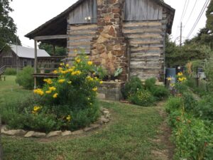
The Butterfly Garden at Fielder House
Lead: Josephine Keeney For more details, visit the Fielder House website The butterfly garden at Fielder House was started in 2006 and continues to be a work in progress on
The Molly Hollar Wildscape
Leads: Ann Knudson and Hester Schwarzer Workdays: Every Wednesday of the month and first Saturday on the month The Molly Hollar Wildscape, located in Veterans Park, Arlington, TX was started
White Settlement Monarch Waystation
Garden Leaders: Avon Burton and Marcie Delgado Mission To attract and support local butterflies, Monarch butterflies, native bees, and other pollinators and to provide educational tools and volunteer opportunities that
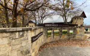
Arbor Hills Nature Preserve
Arbor Hills Nature Preserve is a 200-acre park in Plano, Texas. It has several amenities including 3 miles of paved hiking trail, 3 miles of unpaved hiking trail, a 2.8
Blackland Prairie Raptor Center
The Blackland Prairie Raptor Center in Lucas promotes and enhances populations of raptors through rehabilitation, conservation, and education initiatives. In line with their name, the facility has also undertaken large-scale
Cedar Hill State Park
Cedar Hill State Park is located on FM 1382 and the eastern shore of Joe Pool Lake in Cedar Hill, Texas, ten miles southwest of Dallas. The park was acquired
Clark Gardens
The mission of Clark Gardens is to inspire and demonstrate the many rich horticulture and nature-based possibilities of North Texas to tourists and residents alike. This breathtaking 50-acre oasis awakens
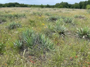
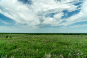
Clymer Meadow Preserve
The 1,475 acre preserve in Hunt County contains some of the largest and most diverse remnants of the Blackland Prairie — the Texas version of the tallgrass prairie that once
Connemara Meadow Nature Preserve
The nature preserve, located in Allen, is 72 acres of natural habitat, and rich in floral diversity that is reminiscent of the native tallgrass Blackland Prairie.
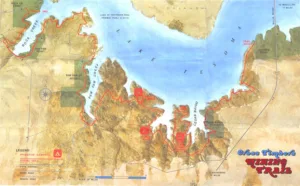
Cross Timbers Hiking Trail at Lake Texoma
This near-15 mile trail runs along the shore of Lake Texoma from Paw Paw Creek to Juniper Point, passing through Cedar Bayou about 13 miles north of Whitesboro, and Eagles
Cross Timbers Trailhead
If you go to the left–Equestrian Trail: Experience this 6.5-mile out-and-back trail near Flower Mound, Texas. Generally considered a moderately challenging route, it takes an average of 2 hours to
Dr Bettye Myers Butterfly Garden and Carrol Abbot Wildflower Sanctuary
TWU’s Denton campus is host to two a native-plant butterfly gardens that attract and sustain monarchs and many other butterflies, bees and birds. The Dr. Bettye Myers Butterfly Garden is located next
Fort Worth Nature Center & Refuge
The Fort Worth Nature Center & Refuge is a nature center located between Lakeside and Lake Worth, Texas within Fort Worth, Texas city limits. It consists of prairies, forests, and
Frankford Blackland Prairie
A historic five-acre nature preserve situated in the midst of north Dallas. The site features a rare remnant of the Blackland Prairie once indigenous to the Dallas area, the historic
Green Acres Farm Memorial Park
Green Acres is a Flower Mound town park of about 13 acres, located at4400 Hide-A-Way Lane, off of Simmons Road near to Grapevine Lake.The land was donated to the town
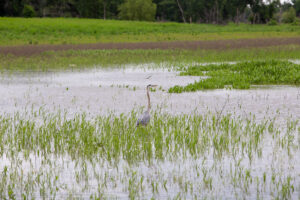
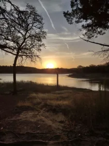
Hagerman National Wildlife Refuge
The 11,320-acre refuge on Lake Texoma includes shallow marshes, creeks, bottomland hardwoods, forested uplands and grasslands, that provide habitat for more than 300 species of birds and many varieties of wildlife.
Heard Natural Science Museum & Wildlife Sanctuary
A 289 acre nature preserve and natural science museum in McKinney. The grounds include a native plant garden, native Texas Butterfly house, and wildlife sanctuary with native grasses, trees, and perennials.
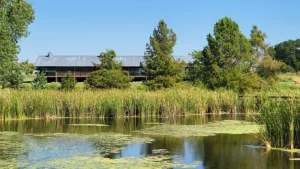
John Bunker Sands Wetland Center
Set amid a working cattle ranch and an expansive wetland on the East Fork of the Trinity River, the John Bunker Sands Wetland Center is a nature center, an educational
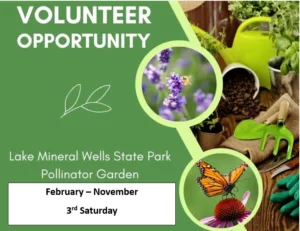
Lake Mineral Wells State Park – Pollinator Garden
This pollinator garden provides visitors the opportunity to see native plants of Texas through all seasons. It is located in front of the Administration Building and parking is available for
LBJ National Grasslands
Lyndon B. Johnson National Grassland is a national grassland located near Decatur, and within an hour’s drive from Fort Worth. It is primarily used for recreation, such as hiking, camping,
Lewisville Lake Environmental Learning Area
Includes over 2,600 acres of prairies and bottomland forests adjacent to Lewisville Lake. LLELA’s mission is to preserve and restore the native habitat and biodiversity, with active prairie and forest restoration
Monarch Waystation at The Bath House
Located on the shores of beautiful White Rock Lake, the Bath House Cultural Center, owned and operated by the City of Dallas Office of Cultural Affairs, is a welcoming venue
Palo Pinto Mountains State Park
Drive about 75 miles west of the Dallas / Fort Worth Metroplex and you’ll enter the Palo Pinto Mountains. Just north of the freeway lies 4,871 acres of former ranch
Parkhill Prairie
A 436-acre native plant preserve located in northeast Collin County. Parkhill Prairie Park features a 52-acre relic of the Blackland tall-grass prairie and provides magnificent views of the countryside.
Smiley-Woodfin Prairie
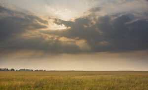
The 2,100-acre meadow in Lamar County is the largest section of native grassland existing in Texas. This grassland has remained uncultivated, providing an annual harvest of native grasses.
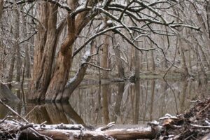
Spring Creek Forest Preserve
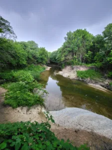
The preserve is situated in northern Dallas County, and features old-growth bottomlandforest with a gentle, wide spring water stream that flows over a bed of solid limestone. The force of the water has

Station 511 in Argyle
Located at Station 511 in Argyle, Rewilding Station 511 is a joint project between Denton County ESD 1, Keep Argyle Beautiful, the Denton County Master Gardener Association, and NPSOT Trinity
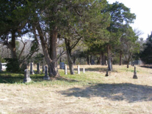
Stiff Chapel Cemetary
A two-acre Texas Historic Cemetery dating from 1847. Located in McKinney, the grounds have a wide variety of native grasses and perennials on undisturbed soil.
The Laura W. Bush Native Texas Park
The Laura W. Bush Native Texas Park, open year round, reflects President and Mrs. Bush’s love of the native Texas landscape. Visitors can explore native Texas environments such as Blackland
Windmill Garden – Brookhaven College
The native plant and pollinator Windmill Garden of Brookhaven College was awarded a grant from the Dallas chapter for additional native plants to continue their great strides in public outreach,