Save the Date for the 2024 Fall Symposium & Secure Your Lodging Now!
Get your first look at information on the upcoming Fall Symposium October 10-13, 2024 in New Braunfels and take advantage of special NPSOT-member lodging discounts while they last!
Shop Native Plants Near You!
The Native Plant Society of Texas partners with local nurseries and growers. Learn more about our NICE Program and start shopping.
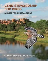
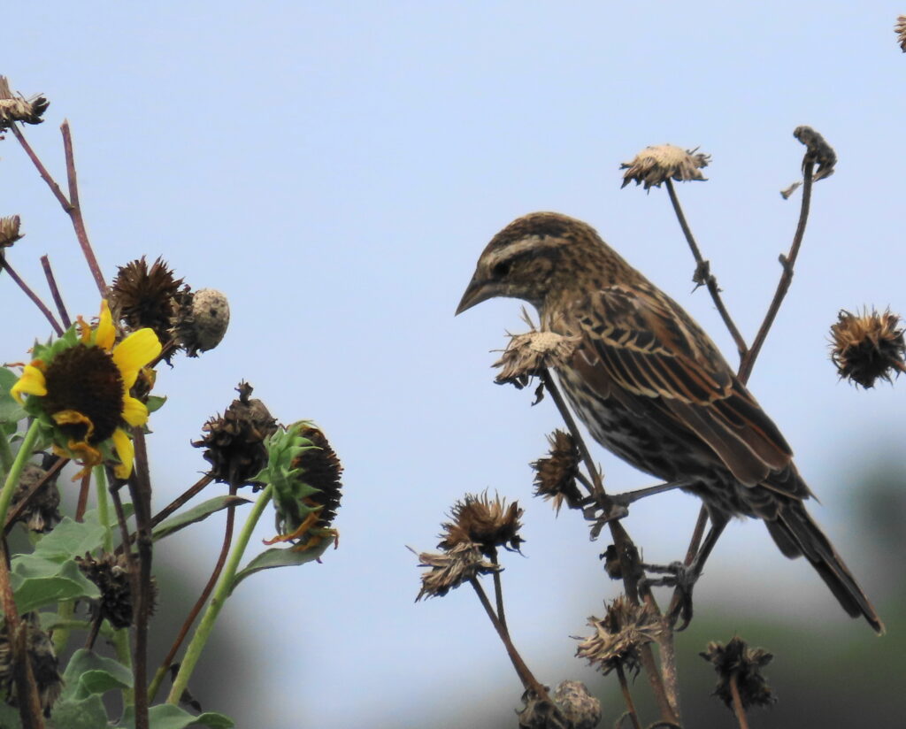
Land Stewardship for Birds
May 28, 2024: Presentation by Rufus Stevens. Land Stewardship for Birds: A Guide for Central Texas
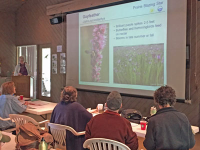
Chapter Meeting, May 7
The meeting will start with a social time at 6:00pm,
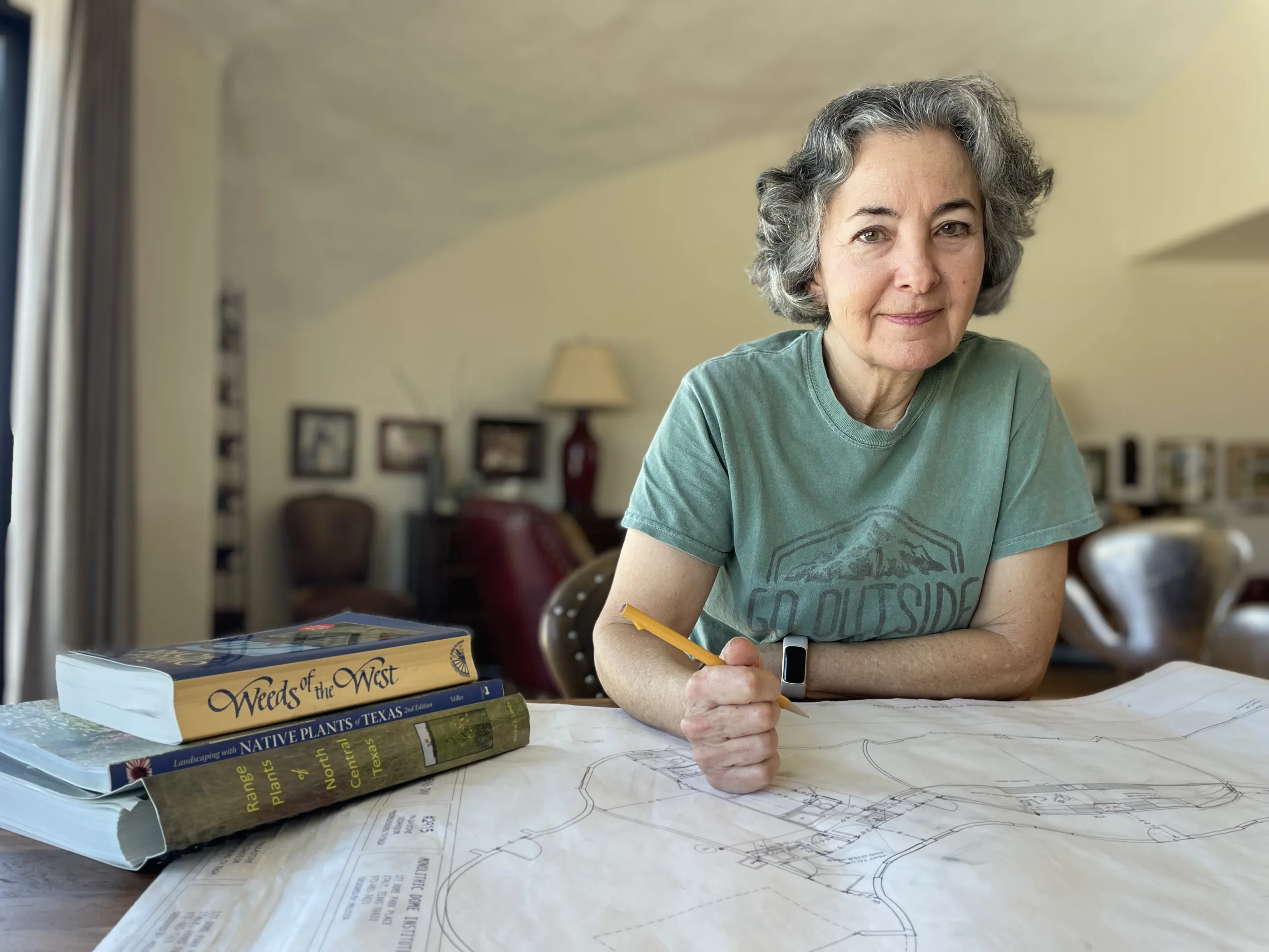
April 23, “Get Real” Garden Design with Native Plants
“I’ll show you practical ways to build gardens that will enhance your property and be less work as time goes by,” noted Paula Stone. “I once heard someone say that, ‘The gardening should get easier as the gardener gets older.’”
Paula Stone, Vice President of the Fredericksburg Chapter of the Native Plant Society of Texas, will share her extensive knowledge about landscape design using native Texas plants on April 23 from 6:30-8 p.m. at St. Joseph’s Halle, Fredericksburg.
Class Descriptions
Level 1 is a prerequisite for Level 2 and for Level 3. Subsequent levels may be taken in any order. NLCP is a state-wide program, but classes focus on the
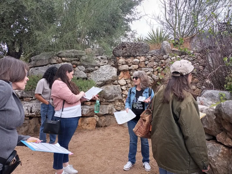
Native Landscape Certification Program
The following classes are currently scheduled. This information is subject to change. Check back later for additional classes. Hybrid classes involve an online presentation and in-person plant walks and exercises