San Antonio Chapter Meeting July 2026
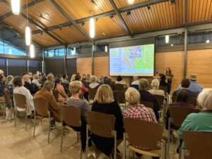
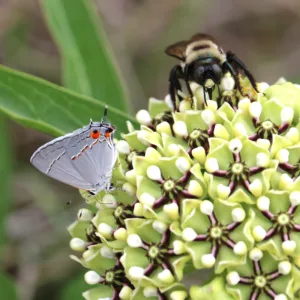
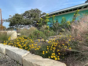
July 28, 2026: Presentation by Mike Quinn, Botanist, Ornithologist, Entomologist, and a top contributor to iNaturalist. Flora and Fauna Biodiversity along the I-35 Corridor.


July 28, 2026: Presentation by Mike Quinn, Botanist, Ornithologist, Entomologist, and a top contributor to iNaturalist. Flora and Fauna Biodiversity along the I-35 Corridor.