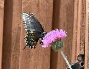
![]() DCMG Garden Tour May 18, 2024, 10am to 5pm
DCMG Garden Tour May 18, 2024, 10am to 5pm
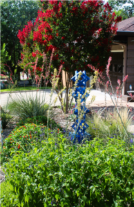
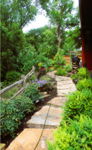
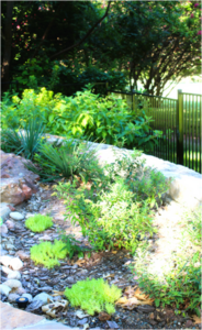
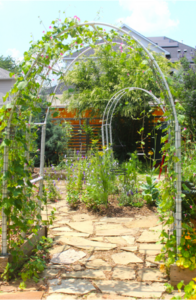
The Dallas County Master Gardener Association 2024 Garden Tour
will feature eight unique gardens in East Dallas. The gardens are
all either owned or maintained by Master Gardeners.
To learn more and purchase tickets, follow this link.
May meeting: Monday, May 20, 2024, Laurel Treviño-Murphy Native Bees
June meeting: Monday, June 17, 2024, Julie Fineman Can Forgotten Cemeteries Help Restore Biodiversity?
July: No meeting in July, see you August 19th.
Meetings are held the 3rd Monday of each month. All meetings are open to members and the public.
Join us starting at 6:30 for social time, chapter announcements and presentations start at 7:00pm
Can’t make it in person? ZOOM our monthly meetings at: https://npsot.us9.list-manage.com/track/click?u=f20269a37974d8413fc79c831&id=12aa33f97f&e=d2e8f28b23
If needed, use: Meeting ID: 837 2523 6133 Passcode: 882399a*
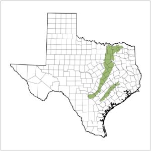
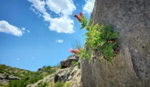
The Blackland Prairie
The Dallas Chapter of NPSOT includes all of Dallas County and the twenty-two cities within its boundaries.
We are in the Blackland Prairie Ecoregion: Average rainfall 28-40 inches with peak rainfall usually in May, Hardiness Zone 8A, average annual minimum temps 15-10 degrees.
Wildflower Planting dates for our area are:
Spring – January 15th thru March 1st
Fall – October 1st thru December 1st
Check this link for a PDF of the USDA’s Hardiness Zone Map for Texas: https://ftp.dot.state.tx.us/pub/txdot-info/library/pubs/cit/hardiness_district.pdf.
Our area is predominately an urban landscape, and the Dallas Chapter’s primary goal is to educate homeowners, businesses, and municipalities on the benefit of planting native landscapes. Each meeting, newsletter, field trip and activity will strive to achieve this goal.